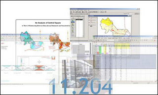
Manipulation of screenshots from Excel and Arcview. (Graphic by Prof. Lorlene Hoyt.)
Instructor(s)
Prof. Lorlene Hoyt
MIT Course Number
11.204
As Taught In
Fall 2004
Level
Graduate
Course Description
Course Features
Course Description
This course focuses on methods of digital visualization and communication and their application to planning issues. Lectures will introduce a variety of methods for describing or representing a place and its residents, for simulating changes, for presenting visions of the future, and for engaging multiple actors in the process of guiding action. Through a series of laboratory exercises, students will apply these methods in the construction of a web-based portfolio. The portfolio is not only the final project for the course, but will serve as a container for other course work throughout the MCP program.
This course aims to introduce students to (1) such persistent and recurring themes as place, race, power and the environment that face planners, (2) the role of digital technologies in representing, analyzing, and mobilizing communities, (3) MIT faculty and their work, (4) MIT's computing environment and resources including Athena, Element K, the ESRI virtual campus, Computer Resources Laboratory (CRL), Campus Wide Information Systems Support (CWIS), the GIS Laboratory at Rotch Library and (5) software tools like Adobe® Photoshop® and Illustrator®, ESRI ArcView, Microsoft® Access, and Macromedia® Dreamweaver® that will assist them in creating digital images, working with relational databases, and launching a web-based portfolio.
Other Versions
Other OCW Versions
Archived versions: ![]()


